
Good Tuesday, everyone. We transition from tornadoes and severe weather on Saturday to the possibility of accumulating snowfall on Thursday. One thing that I always stress is that snowfall is extremely hard to predict and forecast. One small move in a storm system can literally make the difference in who gets snow and how much. Let’s go ahead and jump right into the maps…
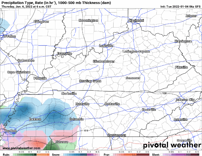
This is the GFS model, and you can see it has snowfall beginning sometime Thursday morning and snowing throughout the afternoon. I do want to continue to stress that the radar will not look exactly like this. Models are just something that are used as guidance in trying to make a forecast. What do the models think in terms of accumulations? Let’s check them out…
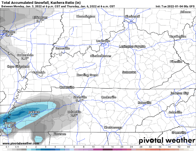
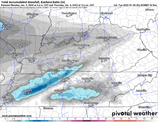
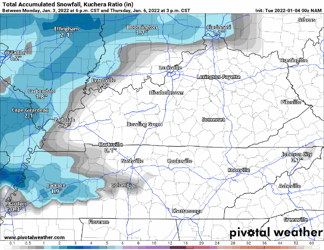
The run of this morning’s models is showing anywhere from 2-5 inches for areas in and around the Lake Cumberland Area. I don’t want to put out a call for snowfall just yet as these things are tough, but I hope to have some idea on the accumulations by tomorrow.