
Good morning and happy Monday everyone hope all of you had an excellent weekend. Saturday was a beautiful day which lead to yesterday being kind of a gloomy day with showers at times. Some rain came into the region overnight and is more is on the way throughout our Monday. Let’s first check out the forecast today and then we will take a look at the hour-by-hour…
Let’s get our first look at the latest hour-by-hour radar…
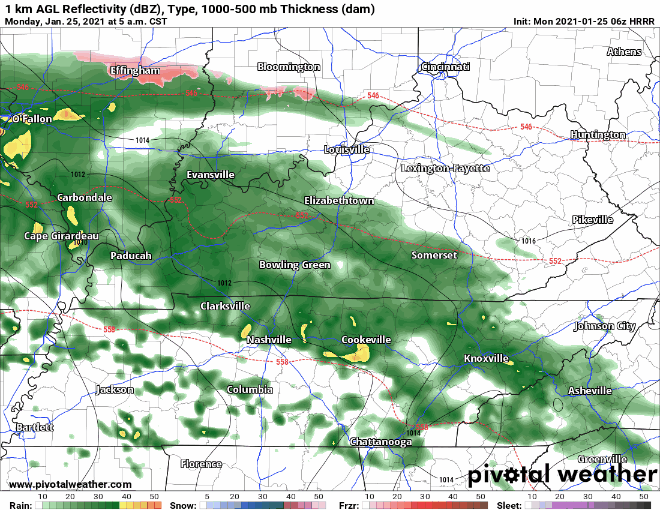
You can see just a big mass of rain along with multiple rounds of showers with some embedded thunderstorms are going to move through the state today. Rainfall could be heavy times and a few of these thunderstorms could reach the severe limits…
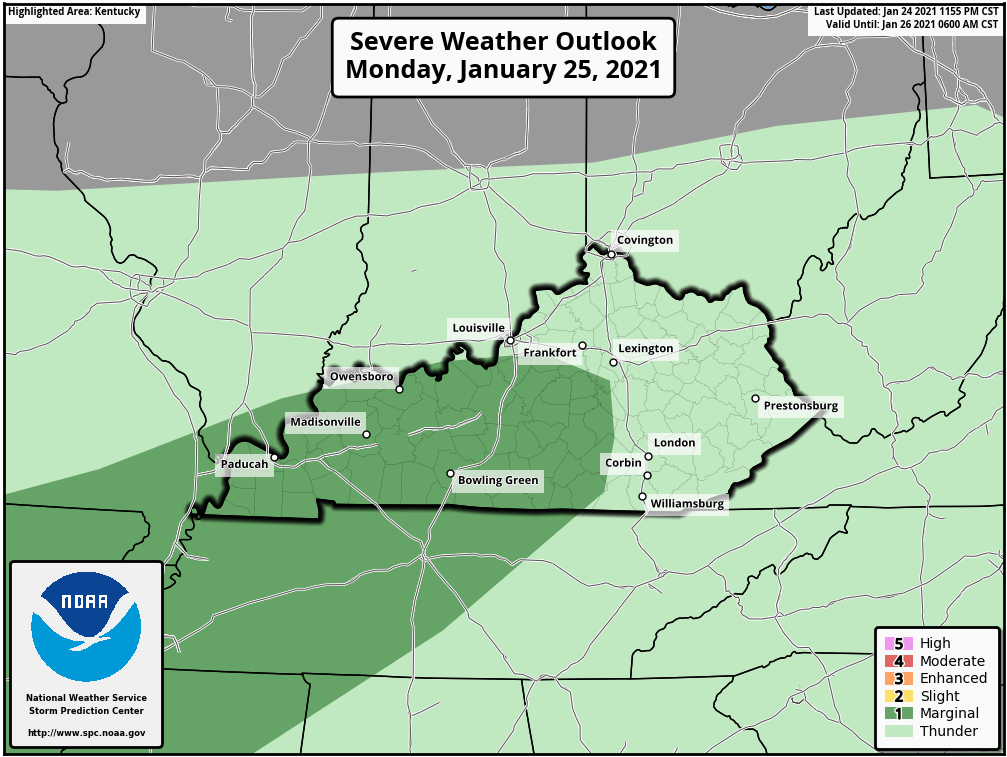
This is the latest severe weather forecast from the Storm Prediction Center. SPC has outlined must of southern and western Kentucky in that dark green area which is a level 1 “Marginal” risk for severe weather. We are not expecting any kind of widespread severe weather, but a few storms could reach severe limits with gusty winds being the main threat. We could end up with close to two inches of rain by the time this system is done…
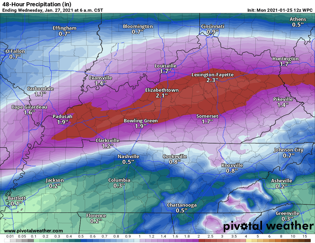
Flash flooding is something we are going to be keeping an eye on as well. Now let’s move on to Wednesday as it appears we could see a little bit of snowfall. Check out the NAM model…
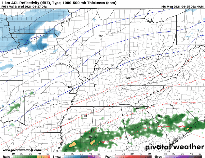
Latest run of this model shows rain coming through and then a quick changeover to a little bit of snow for the area. We will keep a watch on this and if models hold together we will have a first look for snow coming up tomorrow.