
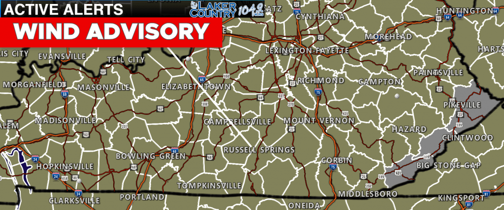
Good morning and happy Thursday, everyone. We are waking up to mild temperatures and gusty winds this morning. The National Weather Service in Louisville has issued a Wind Advisory for much of the Commonwealth. If you have any kind of lawn furniture, trash cans, or anything outside that could easily be blown around, it would be a good idea to secure those items.
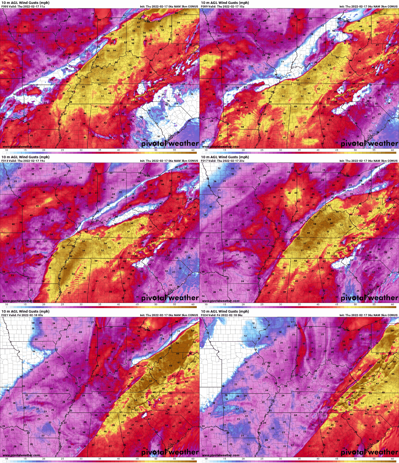
Wind gusts could exceed 50mph at times today.
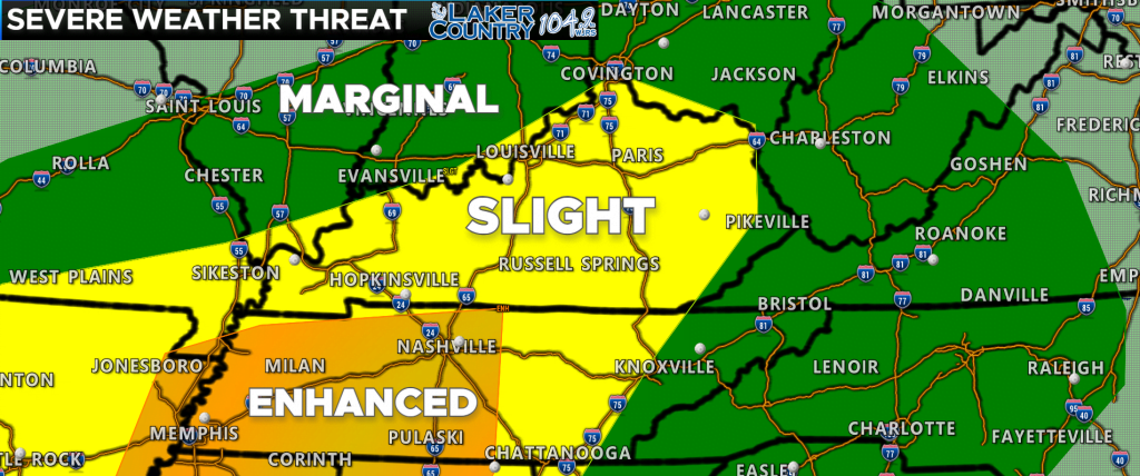
The Storm Prediction Center continues a level 2 “Slight Risk” for severe weather today for much of the Commonwealth. SPC has now introduced a level 3 “Enhanced Risk” just to our south in parts of middle Tennessee. One big factor to watch for is sunshine to come out this morning and early afternoon. The more sunshine and breaks in the clouds, the higher the severe weather threat will be. I still think the best area for severe weather is in far Western Kentucky and into Tennessee.
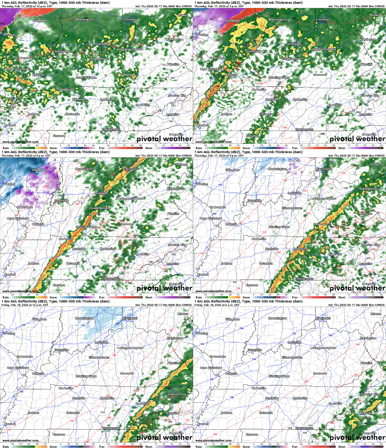
Future radar is showing some initial showers and possible thunderstorms early afternoon, and then followed by a potential squall line this evening. Keep in mind that the radar will not exactly look like this as it just gives an idea on timing and placement of storms.

CAPE values remain low for much of the area. Remember, this is just a model and models can underestimate things. The more sunshine we get, the severe weather threat will increase.
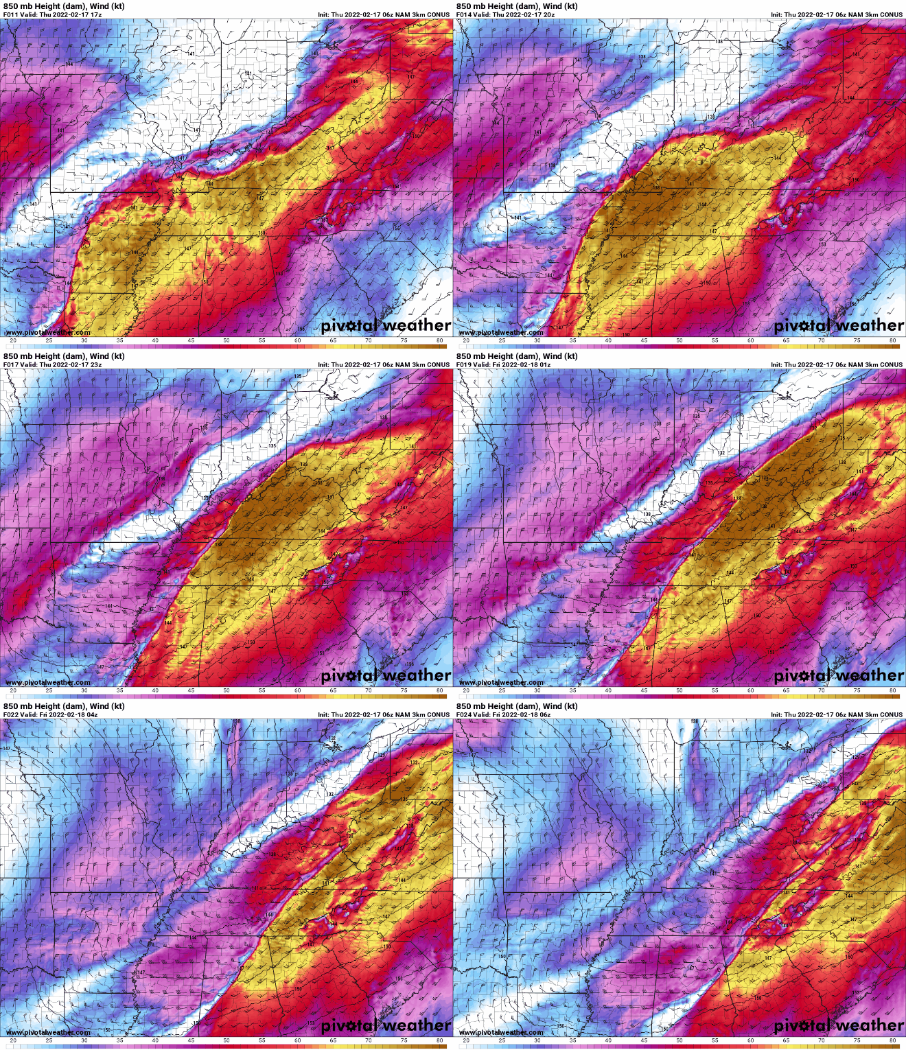
While the CAPE value appears to be low, there is more than enough wind energy in the upper atmosphere. With the wind energy present, we will not need extremely high CAPE for storms to become strong to severe.
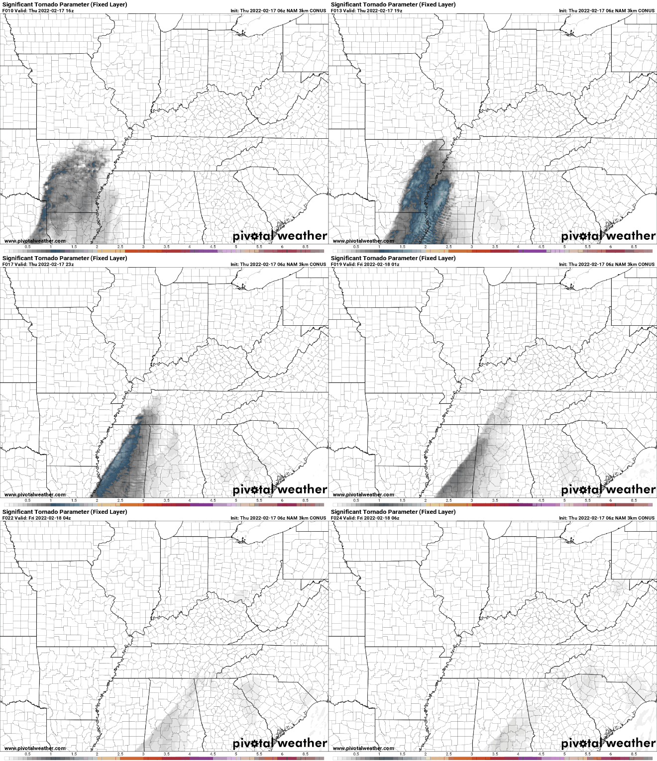
The STP or Significant Tornado Parameter remains pretty low. The best chance for tornadoes is across the deep south. The tornado threat is not zero though.
I think the best timeframe for our part of the world will be between noon and 8:00 p.m. tonight. The main threat will be damaging winds, but I cannot rule out an isolated tornado or two. Remember, winds are going to be very gusty today even outside of thunderstorms. Please take it easy if you drive a high-profile vehicle on an east-west road.
I will post updates as needed and be on Laker Country 104.9 should any severe weather occur.
