
Wanted to jump back on here and push out an update on this Thursday evening. If you remember in the morning post, I mentioned the models would be all over the place today and that has proven to be true. We have had run after run showing different areas being impacted in different ways. I am writing this post just a little after 6:00 p.m. on Thursday evening so just keep that in mind if you check this out later on tonight as there could in fact be additional changes in the modeling. Let’s jump right into the maps…
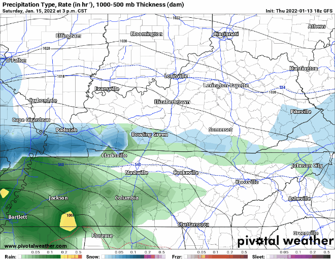

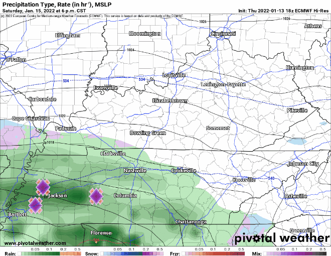
The models have been all over the place today. I do want to continue to stress that there is still a lot of uncertainty. I am going to once again hold off on posting the models thinking of snow totals as they are continuing to be all over the place. I will say the threat for accumulating snowfall is increasing and our part of the world is the where the best chance is for that accumulating snow. I will also say that all of this could change over the next few hours with the way this system has been. I was hoping by now I could post snowfall projections but there is just too much uncertainty at this point.
I think that should this play out as the models suggest, the best timing for the accumulating snowfall is anywhere from Saturday night and through the day and evening hours of Sunday.
I am going to leave you with a tweet posted earlier from the Weather Prediction Center. The experts there note that the threat is increasing for a winter storm to impact parts of the Commonwealth this weekend. Stay tuned to Laker Country 104.9, our social media pages, and check back here for more updates. I hope I can be more specific in the next post.
Confidence is increasing that a significant winter storm will create considerable impacts this weekend into early next week. Significant amounts of heavy snow, freezing rain, and sleet are likely and along the Atlantic coastline strong winds and coastal flooding will be possible. pic.twitter.com/nvEJxbePVe
— NWS Weather Prediction Center (@NWSWPC) January 13, 2022