
New model data is beginning to arrive, and I wanted to jump back on here and push a quick update. 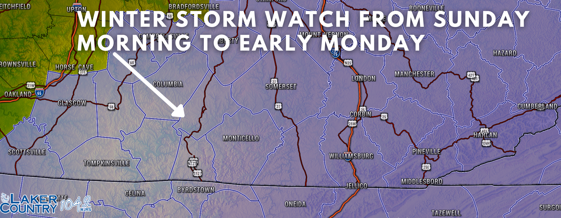
Reminder, The National Weather Service in Louisville has issued a Winter Storm Watch for Russell and surrounding counties. This watch will go into effect at 5:00 Sunday morning and go through the day Sunday. This system has proven to be very challenging in terms of trying to get a projected snowfall amount forecasted. The key in the forecast is how far south will the area of low-pressure travel.
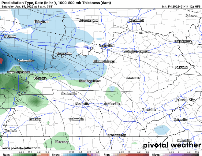
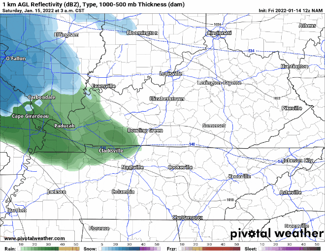
This last run has a pretty good swath of snow for the Lake Cumberland Area and points east. There is a very sharp line with this system. One side of the line could get significant snowfall and the other side of the line may not see much snow at all. You may notice some of that pink showing up on both models. This is something else we have to watch for as that is indicative of sleet and freezing rain. I don’t expect any ice issues, but how long will it take for this to switch over to all snow? Still many questions to be answered, but I do think we can say that there will likely be some accumulating snow here in Russell County and the Lake Cumberland Area.
I will be participating in a conference call with the National Weather Service this afternoon and I hope to then be able to put out snow projections. We’ll see 🙂