
Good Thursday, everyone and welcome to the “almost” end of the week today. We had showers come through the area overnight with some lingering this morning. Those should taper off as we go through the rest of the day today. Here’s the latest hour-by-hour…
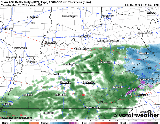
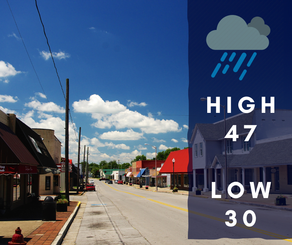
This latest run has most of the area drying out by around noon today, although there could be some lingering showers for parts of the region. Here’s your full forecast for today…
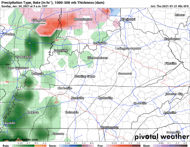
We now shift our attention to Sunday especially late in the day as that is when our next system arrives bringing with it the next chance of rain with the possibility of a few snow showers. We will go over a couple of the models starting with the GFS…
Now the Euro…
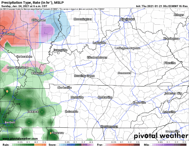
You will notice that both models do not show much in the way of wintry precipitation for our area. All of this has been going back and forth for a couple of days which is why we are still keeping in that chance for some snow showers as there could be a change over to snow. We will definitely see rain with this going into the early morning hours on Monday. We will continue to watch for changes in the models and will continue to update as needed.