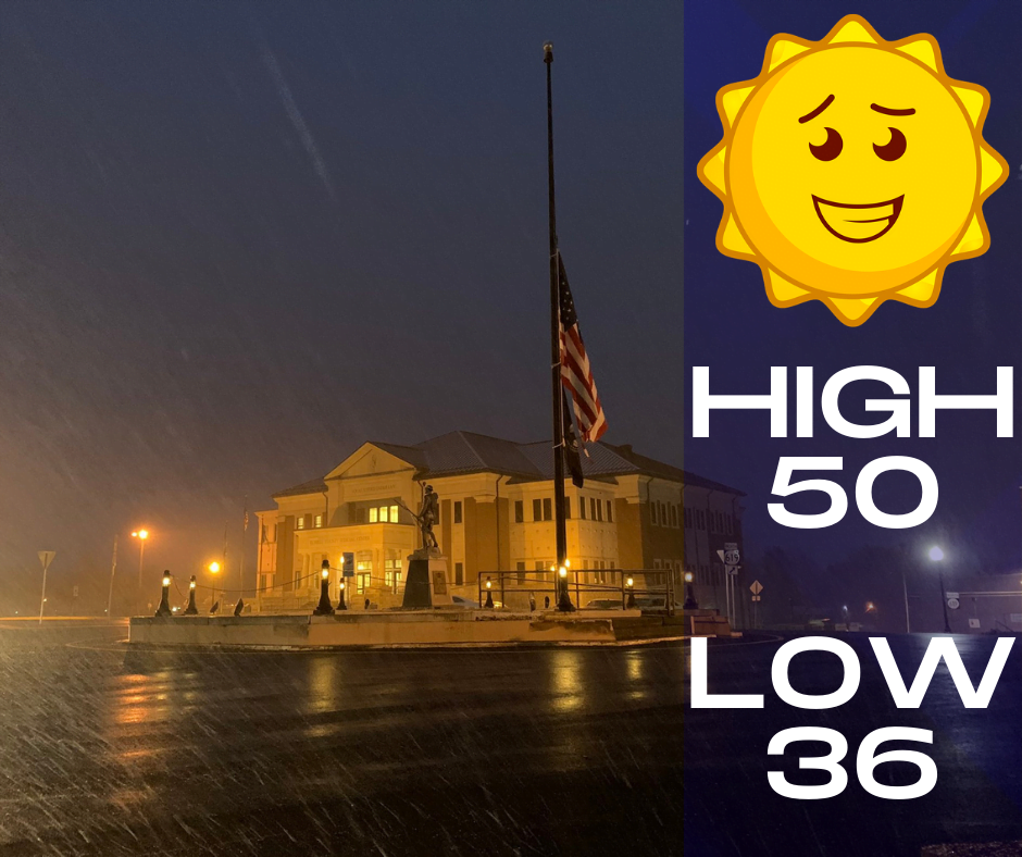
Good Monday morning, everyone. First I want to say thank you all for the support and prayers after my surgical procedure last week. No worries it was an elective surgery and I hope to be back on the air at some point this week. Let’s get back into some weather blogging though and talk about what we have in store for this week. First, check out your forecast for today which is going to be pretty nice…
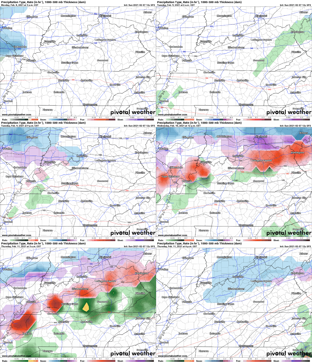
We are closely monitoring the chances for a freezing rain event that may begin late Tuesday night and into Wednesday which we do not want that because it leads to icing that just causes so many issues. There’s are a lot of factor depending on this and there could literally be a difference in precipitation by only a few miles. Here’s the latest model, but remember this could change quickly…
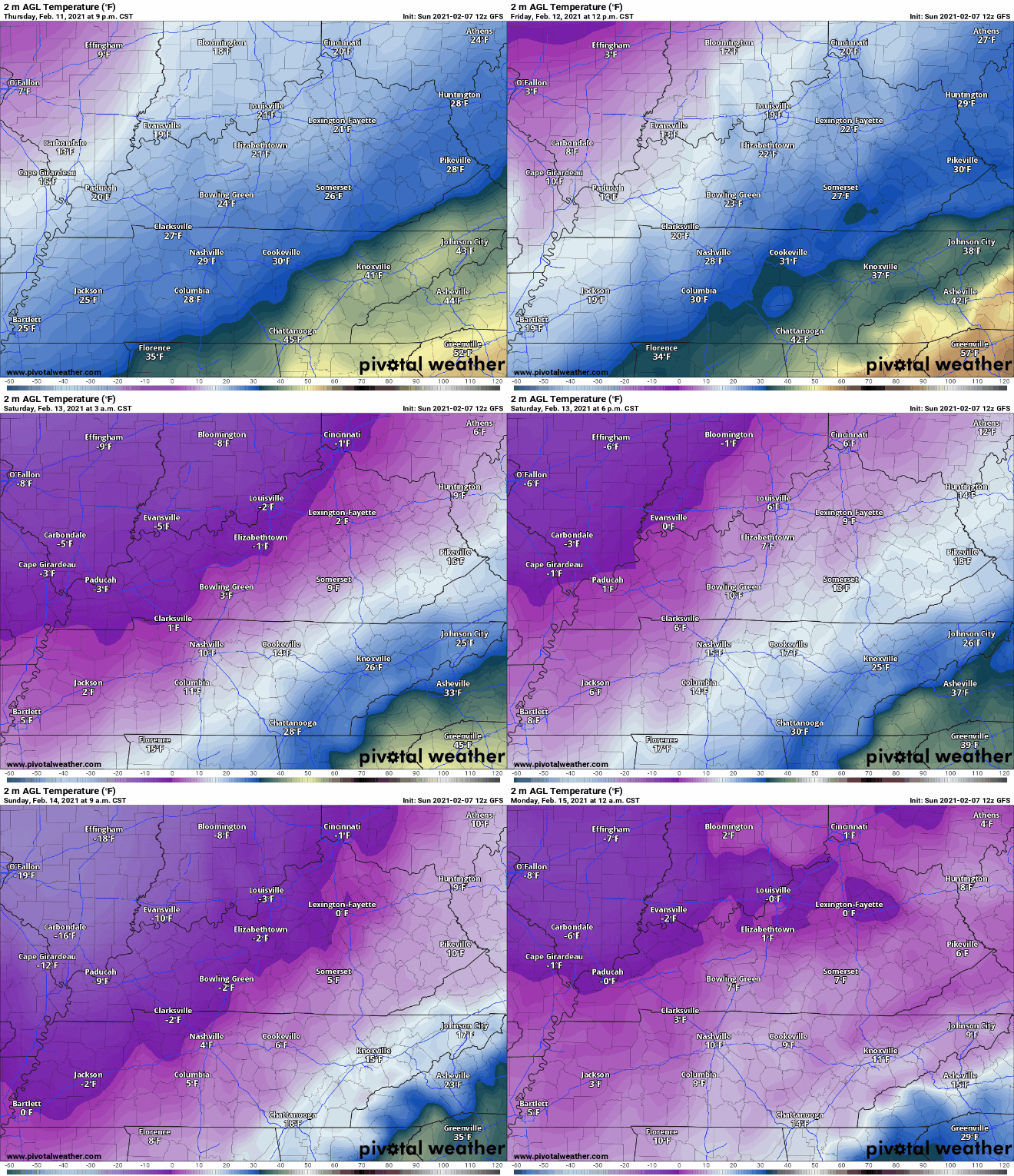
See that sharp cutoff? If this holds together it would keep the frozen precipitation to our north leaving us with just a cold rain which is what we would prefer. Again it is still to early to call, but we are watching closely and will update this post as necessary. Another concern we are watching is potentially frigid temperatures coming into the region late Friday and into Saturday. Check out this latest run of the model…
Yes you are seeing the possibility of sub-zero temperatures in portions of the Commonwealth late this week and into the weekend. Again still a few days out so we will watch this, but I wanted to go ahead and give you a heads up. Don’t forget if you have a photo from the community you would like me to use for my forecast graphics, send those to sean@lakercountry.com. Take care guys and I hope to be back on the air at some point this week.


